Countries Of The World Playground Marking
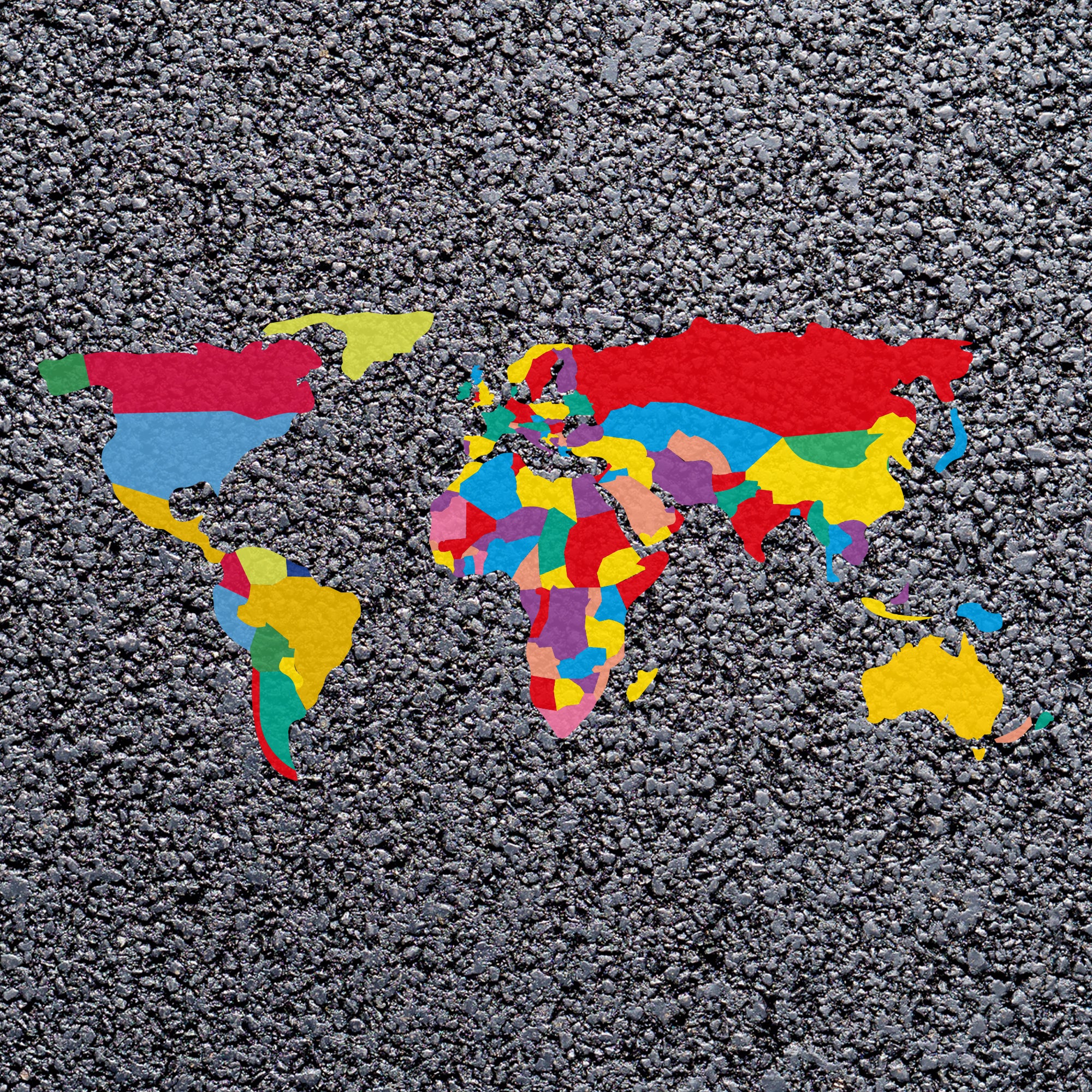
This world map includes coloured areas to indicate most geographical borders and countries. This colourful map is a great way for children to learn about the geography of the world, where countries are located and how big they are in relation to each other.
We offer a more simplistic version of this map which has fewer dividing boundaries which may be better suited for younger children.
This map can be a great learning tool for outdoor lessons or just break time learning. When used with a compass marking children can be encouraged to get a grasp of which way is north.
Original: $1,433.01
-70%$1,433.01
$429.90Countries Of The World Playground Marking
This world map includes coloured areas to indicate most geographical borders and countries. This colourful map is a great way for children to learn about the geography of the world, where countries are located and how big they are in relation to each other.
We offer a more simplistic version of this map which has fewer dividing boundaries which may be better suited for younger children.
This map can be a great learning tool for outdoor lessons or just break time learning. When used with a compass marking children can be encouraged to get a grasp of which way is north.
Product Information
Product Information
Shipping & Returns
Shipping & Returns
Description
This world map includes coloured areas to indicate most geographical borders and countries. This colourful map is a great way for children to learn about the geography of the world, where countries are located and how big they are in relation to each other.
We offer a more simplistic version of this map which has fewer dividing boundaries which may be better suited for younger children.
This map can be a great learning tool for outdoor lessons or just break time learning. When used with a compass marking children can be encouraged to get a grasp of which way is north.